
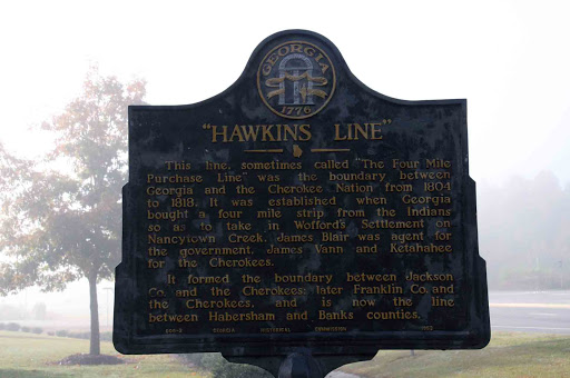
Hawkins Line
This line, sometimes called "The Four Mile Purchase Line," was the boundary between Georgia and the Cherokee Nation from 1804 to 1818. It was established when Georgia bought a four mile strip from the Indians so as to take in Wofford´s Settlement on Nancytown Creek. James Blair was agent for the government, James Vann and Katahahee for the Cherokees.
It formed the boundary between Jackson Co., and the Cherokees; later Franklin Co., and the Cherokees, and is now the line between Habersham and Banks Counties.
GHM 006-2 GEORGIA HISTORICAL COMMISSION 1953
It formed the boundary between Jackson Co., and the Cherokees; later Franklin Co., and the Cherokees, and is now the line between Habersham and Banks Counties.
GHM 006-2 GEORGIA HISTORICAL COMMISSION 1953
Plaque courtesy Lat34North.com.
Original page, with additional info, here.
Photo credit: Byron Hooks of Lat34North.com.
Nearby Plaques
Loading…