
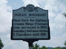
INDIAN BOUNDARY
Near here the highway crosses Meigs-Freeman Line, surveyed in 1802, boundary between whites & Cherokees until 1819.
Plaque via North Carolina Highway Historical Marker Program, and is used with their permission. Full page here (NC Marker ID Q32)
Nearby Plaques
Loading…