
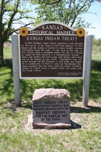
KANSAS INDIAN TREATY
KANSAS INDIAN TREATY In 1825 President James Monroe approved a bill providing for the survey of the Santa Fe Trail from Missouri to New Mexico and the making of treaties to insure friendly relations with Indians along the route. A mile west of this sign, on Dry Turkey Creek, a monument marks the site of a council on August 16, 1825, between U.S. Commissioners Reeves, Sibley and Mather, and Son-ja-inga and fifteen other head men of the Kansas or Kaw nation. Negotiations were conducted through 'Old Bill' Williams, a noted guide and trapper. For a consideration of $800 in cash and merchandise the chiefs promised that the tribe would not molest travelers. Earlier, at Council Grove, a similar treaty was made with the Osage Indians.
Old US-81, McPherson County
4 miles southeast of K-61 junction
Plaque via Kansas Historical Society, and is used with their permission. Full page
Nearby Plaques
Loading…