
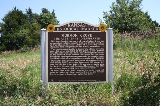
MORMON GROVE THE CITY THAT DISAPPEARED
MORMON GROVE THE CITY THAT DISAPPEARED Near here, located in a grove of young hickory trees, was an important rallying point in 1855 and 1856 for members of The Church of Jesus Christ of Latter-Day Saints (Mormon), then emigrating to the Rocky Mountains.
The campground, really a temporary village covering about 150 acres, consisted of the grove, a large pasture fenced by native sod and a ditch, and a burial ground located on the elevated ridge between the grove and the farm. Though one or two permanent structures were erected, most residents lived in tents, wagon boxes or make-shift dwellings.
During the peak year of emigration at Mormon Grove in 1855, nearly 2,000 Latter-Day Saints with 337 wagons left here for the Salt Lake Valley. It was also a tragic year for the U.S., British, and European Mormons at the little way station, many dying in a cholera epidemic.
In 1856, Iowa City, Iowa, became the major jump-off point for Latter-Day Saint westward travel, and Mormon Grove became a forgotten gathering place.
US-73, Atchison County
Roadside turnout, west of Atchison
Plaque via Kansas Historical Society, and is used with their permission. Full page
Nearby Plaques