
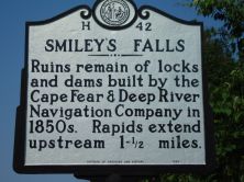
SMILEY'S FALLS
Ruins remain of locks and dams built by the Cape Fear & Deep River Navigation Company in 1850s. Rapids extend upstream 1- 1/2 miles.
Plaque via North Carolina Highway Historical Marker Program, and is used with their permission. Full page here (NC Marker ID H42)
Nearby Plaques
Loading…