
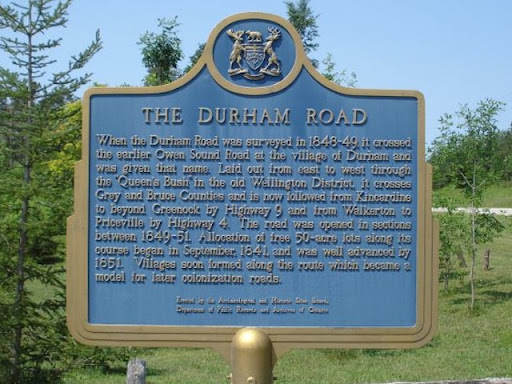
The Durham Road
When the Durham Road was surveyed in 1848-49, it crossed the earlier Owen Sound Road at the village of Durham and was given that name. Laid out from east to west through the "Queen's Bush" in the old Wellington District, it crosses Grey and Bruce Counties and is now followed from Kincardine to beyond Greenock by Highway 9 and from Walkerton to Priceville by Highway 4. The road was opened in sections between 1849-51. Allocation of free 20 ha lots along its course began in September, 1841, and was well advanced by 1851. Villages soon formed along the route which became a model for later colonization roads.
Plaque via Alan L. Brown's site Ontario Plaques. Full page here.
Nearby Plaques
Loading…