
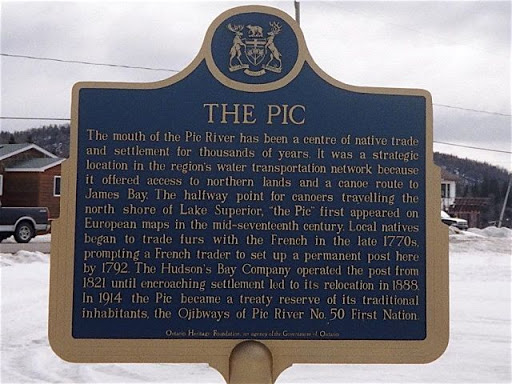
The Pic
The mouth of the Pic River has been the centre of native trade and settlement for thousands of years. It was a strategic location in the region's water transportation network because it offered access to northern lands and a canoe route to James Bay. The halfway point for canoers travelling the north shore of lake Superior, "the Pic" first appeared on European maps in the mid-seventeenth century. Local natives began to trade furs with the French in the late 1770s, prompting a French trader to set up a post here by 1792. The Hudson's Bay Company operated the post from 1821 until encroaching settlement led to its relocation in 1888. In 1914 the Pic became a treaty reserve of its traditional inhabitants, the Ojibways of Pic River No. 50 First Nation.
Plaque via Alan L. Brown's site Ontario Plaques. Full page here.
Nearby Plaques